It was supposed to rain Fri. and when the storm didn't show I was afraid it would rain for my Sat. paddle. Fortunately it rained all night and dawned sunny and clear. I arrived at the marina a little after 10 AM, and it was really busy. A group of young sailors were preparing for the day and there were two other kayakers besides myself.
 As I launched, a 6-person scull went by with the coach in a motorboat. Not soon after came a dragonboat, an outrigger and a paddleboard, all going the opposite way.
I crossed the channel and it finally started to thin out from all the people. I got a picture of this big guy.
 I was headed for Corkscrew slough and the hidden, narrow channel that cut around Bair Island. I'd forgotten to clear my GPS from the last trip so my milage was screwed up but I knew I was close. My position on the GPS indicated I had to be near. Again it was a very high tide, so an obvious channel wasn't present. I took a guess and headed parallel to Corkscrew looking for a passageway to the right as the travel guide suggested. I turned right and headed for the tall electrical lines which you are supposed to paddle under as you cross under a footbridge. A pelican caught my eye; he was sitting right on the footbridge passageway!
I crossed under the footbridge and headed east towards the open bay. There was land to my right. I hoped it was Bair Island. It sure wasn't very pretty. But I was excited to finally find the cut-off and head for open water. Once in the bay, I knew when I turned south whatever land was to my right had to be the island. The tide was still flowing in and it was passing really fast in front of me to the south in a small inlet through the land to my right. As I passed the inlet and looked right, I realized this was not the island I had been paddling along; I could see it off in the distance. All was OK as I could see the open bay in front of me. I decided to continue east.
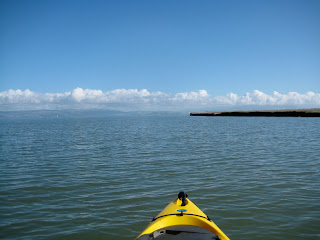
I finally passed the jetty to my right and popped out into the bay and turned south. It wasn't at all windy and quite pleasant. I saw Bair Island ahead of me.........

I passed a couple of kayakers going the opposite way looking for the passageway I had just come from.
The bay side of the island had a barrier completely made of shells. I guess this is why they called it shell beach!
I continued my paddle south. Here's looking south to the Dumbarton Bridge before I turned west at channel marker #8, heading back to the marina.


No comments:
Post a Comment